Forecast for the Ogden Area Mountains

Mark Staples
Issued by Mark Staples on
Wednesday morning, December 18, 2019
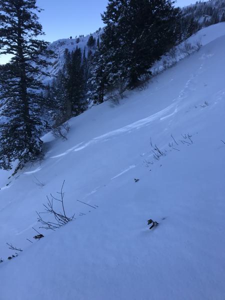
The avalanche danger is MODERATE on all upper elevation slopes where the main avalanche problem is fresh slabs of wind drifted snow as today's winds increase from the southwest. Below 8,500' in elevation, avalanche conditions are generally safe and the avalanche danger is LOW.
Low
Moderate
Considerable
High
Extreme
Learn how to read the forecast here
Special Announcements
Final report for the Dutch Draw avalanche fatality is available HERE.
Consider donating to the Matt Tauszik Memorial Fund to help his wife and young son.
Weather and Snow
A strong temperature inversion exists with trailhead temperatures near 10 degrees F while temperatures at ridgetops and peaks are in the upper 20s F. These upper elevations temperatures are about 20 degrees warmer than they were yesterday morning.
The other change in weather this morning is that winds increased and shifted to the southwest. At ridgetops they are averaging 10-20 mph and gusting up to 20-35 mph. These increased winds are mainly occurring at upper elevations.
Today, temperatures should warm into the low 30s F but mostly cloudy skies will keep temperatures from heating up as much as they would under full sunshine. Winds should slowly increase this morning and remain from the southwest. They should peak later this afternoon with some 50 mph gusts at the highest elevations.
The snow yesterday got damp on some south-facing slopes.
Recent Avalanches
Ski areas triggered some shallow avalanches in the new snow. They triggered some thicker slabs on Monday that were up to 2-3 ft deep.
In the backcountry, one regular observer spotted a shallow soft slab avalanche that failed on a layer of graupel. (Photo - B. Smith)
Ad
Avalanche Problem #1
Wind Drifted Snow
Type
Location
Likelihood
Size
Description
All avalanche activity in the Ogden area mountains has occurred within the new snow that fell during the Friday-Saturday storm. Some of these avalanches failed on layers of graupel that fell during the storm as one observer found yesterday near Chilly Peak. Most of these soft slabs have likely stabilized. Remaining instabilities should be confined to slabs of wind drifted snow. Watch out for fresh slabs forming today with increased southwest winds.
Avalanche Problem #2
Persistent Weak Layer
Type
Location
Likelihood
Size
Description
After this weekend's storm that added significant stress to the snowpack, there were no avalanches observed breaking in a persistent weak layer near the ground. This layer exists at upper elevations on northerly facing slopes.
It appears that his layer is gaining strength as Drew, Eric and Doug Wewer found on Ben Lomond on Monday. The photo below that Doug took of this weak layer shows some straight edges on the snow crystals (bad) but many rounded edges (good). As we get more info on this layer and signs that it is healing, we may be able to rule it out in the near future. For now, we don't expect avalanches on it, but we have to mention it.
General Announcements
This information does not apply to developed ski areas or highways where avalanche control is normally done. This forecast is from the U.S.D.A. Forest Service, which is solely responsible for its content. This forecast describes general avalanche conditions and local variations always occur.