Forecast for the Ogden Area Mountains

Trent Meisenheimer
Issued by Trent Meisenheimer on
Tuesday morning, December 17, 2019
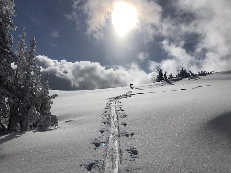
The avalanche danger is MODERATE on all upper elevation steep slopes where human triggered avalanches 1-2' are possible. Caution is warranted in all steep terrain. Proper assessment and safe travel protocol is key. Below 8,500' in elevation you will find a LOW avalanche danger.
Low
Moderate
Considerable
High
Extreme
Learn how to read the forecast here
Special Announcements
We are very sad to report an avalanche fatality that happened yesterday along the Park City ridgeline in the Dutch Draw area. The avalanche was 1 to 3 feet deep, 120' feet wide and ran 600' vertical feet to the bottom. A 45 year old male snowboarder left the Canyons Village of Park City via the backcountry exit gate at the top of the 9990' lift to access Dutch Draw. Part of the way down the slope (Conehead area of Dutch Draw), he triggered and was caught, carried and killed in an avalanche. UAC staff visited the site yesterday and is compiling an accident report that should be done later this afternoon.
A link to the preliminary accident report can be found HERE.
Weather and Snow
Under clear skies this morning the overnight temperatures plummeted below 0°F. This morning they are slowing working there way back into the single digits °F at the upper elevations. Lower elevation trails are still reading temperatures around 5°F. It's cold. North winds overnight and into this morning averaged speeds of 10-15 mph along the upper elevation ridgelines. Below ridgeline the winds are calm. It will be a beautiful day in the mountains with afternoon temperatures climbing into the mid 20's °F and plenty of sunshine.
Riding and turning conditions remain all time with five star powder on all aspects and elevations.
Photo: Ben Lomond
Recent Avalanches
Control work in the Ogden area produced wind slab results in upper elevation northerly terrain. These avalanches were triggered with explosives and were 2-3' deep on a northeast facing aspect at 8,700' in elevation. They also reported clean shears within the new snow 8-10" deep in their stability tests. Hardesty, Trenbeath and Wewer were in the area and have an excellent observation HERE.
Ad
Avalanche Problem #1
New Snow
Type
Location
Likelihood
Size
Description
Wind slab and storm snow avalanches 12-24" deep may still be triggered on steep slopes on many aspects along the upper elevations. The drifts will be more prominent in (but not exclusive to) terrain with an easterly component. Test slopes, cornice drops, and ski cuts are generally effective with these types of soft slab avalanches. Look for and avoid pillowy rounded snow. Cracking and collapsing are signs of unstable snow.
Carry rescue gear. Use safe travel by riding one at a time and keeping an eye on each other while descending slopes.
Avalanche Problem #2
Persistent Weak Layer
Type
Location
Likelihood
Size
Description
Despite the significant loading and avalanche control work, no avalanches stepped down into this old snow layering. I suspect we will soon put this problem to bed but I would like to have another day or two of reports and observations that this structure is not a player.
Additional Information
General Announcements
This information does not apply to developed ski areas or highways where avalanche control is normally done. This forecast is from the U.S.D.A. Forest Service, which is solely responsible for its content. This forecast describes general avalanche conditions and local variations always occur.