Forecast for the Ogden Area Mountains

Evelyn Lees
Issued by Evelyn Lees on
Friday morning, February 22, 2019
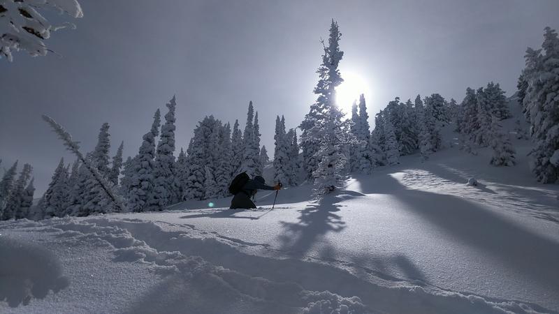
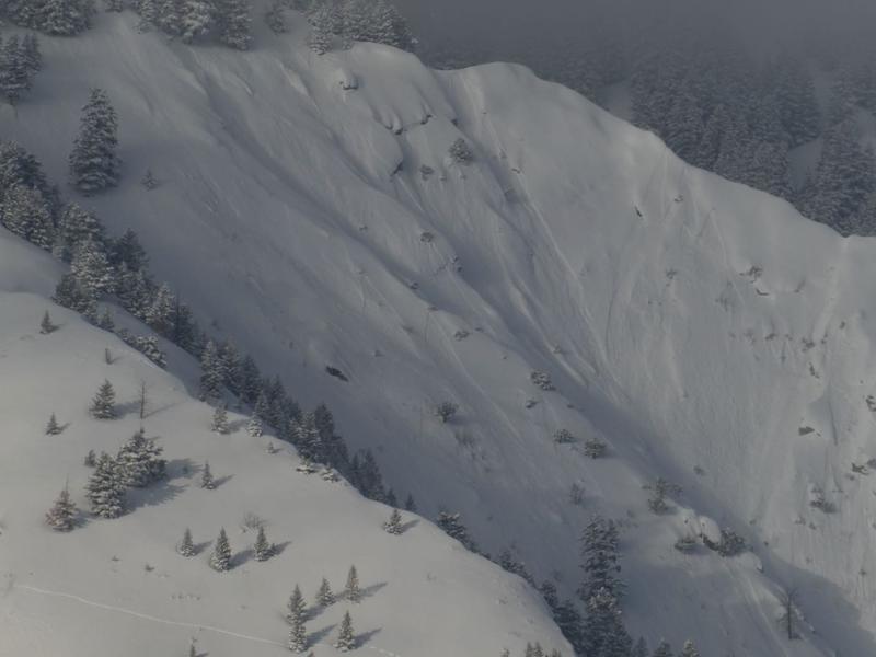
A MODERATE AVALANCHE DANGER exists at mid and upper elevations for triggering a soft slab of wind drifted snow or a loose snow sluff. Avoid travel on and below the huge cornices. At low elevations the danger is LOW, though there are scattered wind drifts to be avoided.
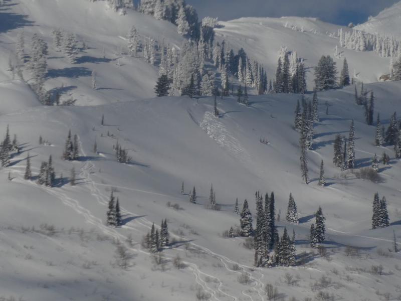
Other parts of the Ogden area mountains received less snow and have a lower danger today.
Low
Moderate
Considerable
High
Extreme
Learn how to read the forecast here
Special Announcements
Heading south for the weekend? Avalanche Warning for the Abajos and La Sals. There are forecasts for the Manti Skyline, La Sals and Abajos HERE, and we do post obs from the mountains of southwest Utah. View them here or submit obs here.
Weather and Snow
It's been a tale of two worlds, with Snowbasin and Ben Lomond storm totals of about 2 feet of low density snow, while most other parts of the the Ogden area mountains received 6 to 8" of snow.
Under partly cloudy skies, light snow fell overnight, adding another 2" of low density powder from the Ogden area mountains. Temperatures are once again cold - in the single digits at most stations, with a few teens at the lower elevations. Temperatures are expected to only warm into the teens to low 20s today. Skies should partially clear this afternoon, and the powder is amazing.
The wind direction has been shifting around the last 24 hours, but has mostly been from the southeast. Today, it should eventually settle on northeasterly. Speeds are currently averaging averaging 5 to 10 mph at the mid to upper elevations, with gusts barely 15 mph, and expected to stay light. Canyon mouths like Parleys, Weber, Provo and Ogden are where the greatest speeds were overnight, and gusts in the 30s will continue for a while this morning. Late this afternoon or this evening, the winds will shift to the northwest and increase, with averages 15 to 25 mph, and gusts in the 30s.
Deep trail breaking, once again. Kory Davis photo.
Recent Avalanches
In the backcountry, clearing allowed views of sluffs and soft slabs on Ben Lomond. Large sluffs from the last few days were reported from other parts of the Ogden area mountains. Resort control work yesterday in the Ogden area mountains produced minimal results.
Ben Lomond, natural avalanche activity - new snow sluffs and soft slabs. Kevin Dressel photo.
Ad
Avalanche Problem #1
Wind Drifted Snow
Type
Location
Likelihood
Size
Description
Wind slabs: It will be another day of dodging the wind drifts at the upper and mid elevations. With the wind direction over the last 24 hours varying by drainage, drifts can be found on almost every aspect. North and northwesterly facing slopes were especially loaded by yesterday’s southeasterly winds. The abundant low density snow is forming both the weak layer and the soft slab. The best way to avoid these wind slabs is to look for them. Wind drifts are often rounded, smooth, and feel denser or “cakier” than the surrounding snow. Cracking in the snow is a sure sign of a wind drift. Also look for signs of new drifting - winds are forecast to shift to the northwest and increase late this afternoon and overnight. Watch for plumes off ridge lines and peaks above you and blowing snow where you are.
Sluffs - can be triggered on steep slopes of all aspects, running far distances in continuously steep terrain. They are large enough to catch and carry a person on foot.
Avalanche Problem #2
Cornice
Type
Location
Likelihood
Size
Description
The large cornices have become a permanent part of the landscape, and were joined by a few new smaller ones from yesterday’s easterly winds. The large, older ones will break back much further than expected - avoid travel below and on these.
Additional Information
So how awesome has February been? One way to see is looking at how much water was contained in the snow. Mark created this graph, and a whole blog with more details HERE.
The accident reports for the four avalanche fatalities are all finalized with some first-hand accounts and worth reading. We all have something to learn so that we can get home safely to our loved ones. List of all accidents found HERE.
General Announcements
This information does not apply to developed ski areas or highways where avalanche control is normally done. This forecast is from the U.S.D.A. Forest Service, which is solely responsible for its content. This forecast describes general avalanche conditions and local variations always occur.