Forecast for the Ogden Area Mountains

Drew Hardesty
Issued by Drew Hardesty on
Saturday morning, December 29, 2018
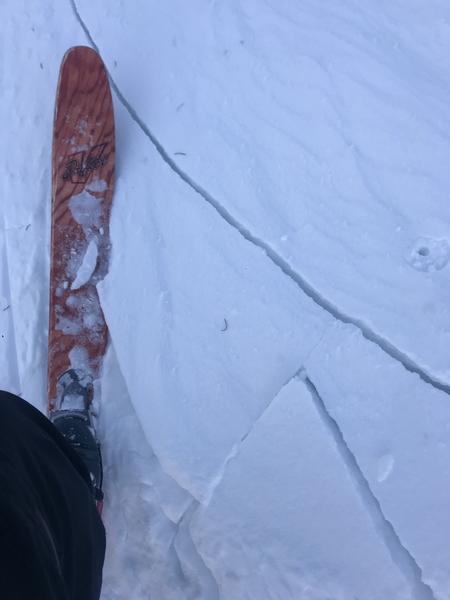
Pockets of MODERATE danger exist for steep wind drifted slopes. Human triggered avalanches are possible on many aspects but more pronounced at the upper elevations. Sluffing is also possible with provocation in the steepest terrain where not wind affected.

Safe travel protocol is key today: Travel one at a time in steep terrain, keep your partner in sight and be in position to get to them quickly should there be an avalanche.
Low
Moderate
Considerable
High
Extreme
Learn how to read the forecast here
Special Announcements
The new UAC IOS mobile app is now available on the app store. Check out the new "My Weather" feature.
Weather and Snow
Skies are partly cloudy this morning with temps in the single digits. Winds are from the northwest and generally less than 15mph. Skiing and riding conditions remain quite good in the sheltered areas. Wind effect can be found in the open exposed bowls with some reports of southerly aspects likely seeing a melt-freeze crust this morning. Conditions and coverage are good.

We'll see increasing clouds and wind today ahead of a quick hitting storm for tomorrow. I'm expecting 4-8" of low density snow by early Monday with perhaps the lowest temps of the season New Year's Eve.
Recent Avalanches
No activity reported from the backcountry. Ski area control work produced a few shallow hard slab releases with explosives.
Ad
Avalanche Problem #1
Wind Drifted Snow
Type
Location
Likelihood
Size
Description
Cracking (Brian Smith photo below) in the new wind effect noted by observers in the Ogden mountains yesterday, but large wind drifts noted in the side-country of the resorts. These should be avoided today. Pockets of both soft and hard wind slab are present on many aspects and more pronounced at the upper elevations.

Awareness and caution, if not outright mitigation, should be exercised. Remember that soft slabs you're "in"; hard slabs you're "on". Hard wind slabs are troublesome in that they don't often respond to a cornice drop or ski cut and may ultimately pull out with the third skier or rider. Increasing northwest wind has "colored in" more potentially drifted terrain today at the upper elevations. They remain pockety in the mid-elevations.
Wind drifts can look rounded and smooth and certainly feel more thick or punchy when you move through them. Shooting cracks or audible collapsing of a drift on lower density snow below are red flags to turn around.
Additional Information
Backcountry Emergencies. (clickable link) It outlines your step-by-step method in the event of a winter backcountry incident.
If you trigger an avalanche in the backcountry, but no one is hurt and you do not need assistance, please notify the nearest ski area dispatch to avoid a needless response by rescue teams. Thanks.
Ogden - Snowbasin Resort Dispatch (801-620-1017), Powder Mountain Dispatch (801-745-3772 x 123)
General Announcements
This information does not apply to developed ski areas or highways where avalanche control is normally done. This forecast is from the U.S.D.A. Forest Service, which is solely responsible for its content. This forecast describes general avalanche conditions and local variations always occur.