Forecast for the Ogden Area Mountains

Mark Staples
Issued by Mark Staples on
Thursday morning, December 24, 2020
A CONSIDERABLE avalanche danger exists on all steep slopes at the upper elevations which have received more snow and more wind. They also have more faceted snow underneath. With less new snow at mid elevations, the avalanche danger is MODERATE.
There is barely enough snow below 7000 feet to ride and barely enough to create an avalanche. At low elevations, the avalanche danger is LOW.
Low
Moderate
Considerable
High
Extreme
Learn how to read the forecast here
Special Announcements
Thanks to the generous support of our local resorts, Ski Utah, and Backcountry, discount lift tickets are now available.
Support the UAC while you ski at the resorts this season. Tickets are available here.
Weather and Snow
Tuesday's storm delivered 2-6 inches of snow (0.04-0.16 inches of water). Very strong winds blew Tuesday evening at the start of the storm and generally eased by yesterday morning.
This morning temperatures are mostly in the mid teens F, although ridelines at Snowbaisn have warmed into the low 20s F. Ridgetop winds are blowing 10 mph and gusting 20 mph from the northwest.
Today will have clear sunny skies under a ridge of high pressure. Winds will slowly ease through the day and temperatures will warm into the low to mid 30s F.
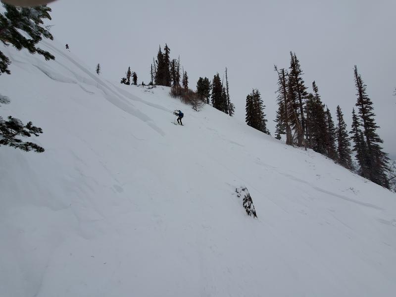
The snowpack is about 2 feet deep in most places. Snowfall Tuesday night helped improve riding conditions although an ice crust from warm temperatures and a rime event on Sunday can be found under the new snow. Expect the snow on south facing slopes to get a little damp this afternoon.
Recent Avalanches
There has not been any recent avalanche activity aside from ski patrols triggering dry loose avalanches in the new snow yesterday.
On Sunday, we did hear reports of a skier caught and carried in an avalanche in the Bailey Spring area near the Cutler Ridge area of Ben Lomond...not far from a larger natural avalanche nearby 1-2' deep and 350' wide. These were on a steep easterly facing aspects at roughly 8600'.
Ad
Avalanche Problem #1
Persistent Weak Layer
Type
Location
Likelihood
Size
Description
The Ogden area mountains have a persistent weak layer of faceted snow in the bottom half of the snowpack. See the obvious, large faceted crystals of snow in the photo below. This weak layer was collapsing for Greg near Powder Mountain last weekend. Recent snowfall only contained 0.11-0.16 inches of water which wasn't much of a load. However, this weak layer is very weak, fragile, and unpredictable. I wouldn't expect widespread avalanches activity today, but I wouldn't trust it either.
The best option is to choose low angle slopes (less than 30 degrees in steepness) and not tempt this layer to produce an avalanche.
Avalanche Problem #2
Wind Drifted Snow
Type
Location
Likelihood
Size
Description
Even though Tuesday's storm did not deliver much snow, winds have likely transported this snow and added addtional load to leeward slopes. Watch for these fresh slabs of wind drifted snow which can produce an avalanche on their own. If they are resting on facets, they will be easier to trigger and potentially break over a wider area.
General Announcements
Please visit this website with information about Responsible Winter Recreation by the Utah Office of Outdoor Recreation.

This information does not apply to developed ski areas or highways where avalanche control is normally done. This forecast is from the U.S.D.A. Forest Service, which is solely responsible for its content. This forecast describes general avalanche conditions and local variations always occur.