Forecast for the Ogden Area Mountains

Nikki Champion
Issued by Nikki Champion on
Friday morning, December 20, 2019
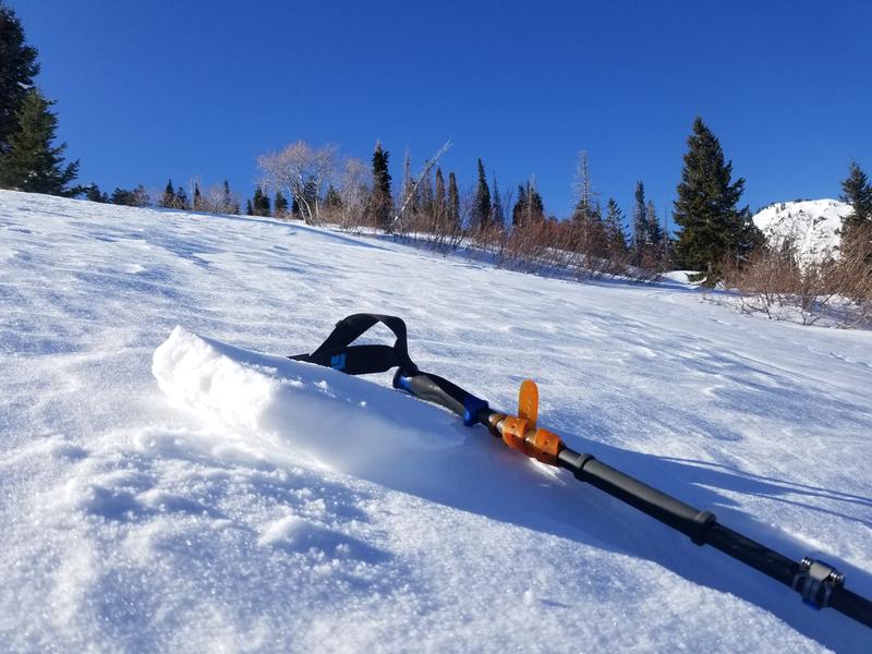
The avalanche danger is MODERATE on all upper elevation slopes where the main avalanche problem is fresh slabs of wind drifted snow. Continue to look for and avoid pillowy, rounded snow.

Below 8,500' in elevation, avalanche conditions are generally safe and the avalanche danger is LOW.
Low
Moderate
Considerable
High
Extreme
Learn how to read the forecast here
Special Announcements
Final report for the Dutch Draw avalanche fatality is available HERE.
Consider donating to the Matt Tauszik Memorial Fund to help his wife and young son.
Weather and Snow
This morning there is an inversion in the mountains. Trailhead temperatures are in the teens F, and ridgetop temperatures are in the low 20s F. Winds are south and westerly currently blowing in the mid-teens to low 20s.
Yesterday winds shifted from southwesterly to northwesterly and then back to southwesterly, averaging in the mid-teens and low-20s mph, and gusting up to 32 mph near Ogden Peak.
Today, temperatures should be warm, in the mid and upper 20s F. As a ridge of high pressure continues to build over the area, skies will remain clear and sunny. Winds will continue to blow from the southwest and remain in the mid-teens to mid-20s mph. The winds should begin to increase this afternoon into the evening.
Sun and warm daytime temperatures have taken a toll on south-facing slopes where the snow has gotten damp, refrozen at night and formed an ice crust.
Our Week in Review - summarizing the significant weather and avalanche events of the past week - can be found here.
Recent Avalanches
Ski areas triggered a few avalanches yesterday using explosives. One area triggered multiple soft slab and hard slab shallow avalanches in the new snow, with 3-10" deep crowns. One area triggered a hard slab avalanche large enough to bury a person on a southeast aspect around 9,300 feet, most likely in the storm snow from 12/14-12/15.

No new avalanches were reported in the backcountry.
Ad
Avalanche Problem #1
Wind Drifted Snow
Type
Location
Likelihood
Size
Description
Following the new snow from the weekend, Ogden has gotten winds gusting up to 45 mph. Yesterday winds calmed down a bit, but gusts were still above 30 mph. All of the reported avalanches have occurred within the new snow. A recent observer on Cutler Ridge noted signs of snow being transported as low as 7300 feet in the afternoon. Watch for some slabs of wind drifted snow at mid-elevations; however, the most likely place to trigger a wind slab will be at upper elevations where winds have been the strongest.
Photo of wind crust and wind effected snow on Cutler Ridge (PC: D. DeBruin)
Avalanche Problem #2
Persistent Weak Layer
Type
Location
Likelihood
Size
Description
Last weekend's storm added significant stress to the snow, but no avalanches were observed breaking in the persistent weak layer near the ground (a positive sign). This layer does still exist at upper elevations on northerly facing slopes, but it is gaining strength as Drew, Eric and Doug Wewer found on Ben Lomond on Monday. As we get more info on this layer and signs that it is healing, we may be able to rule it out soon.
The photo below shows the snowpack on a NNW aspect on Ben Lomond with 10cm of facets still on the ground (PC: D. DeBruin).
General Announcements
This information does not apply to developed ski areas or highways where avalanche control is normally done. This forecast is from the U.S.D.A. Forest Service, which is solely responsible for its content. This forecast describes general avalanche conditions and local variations always occur.