Sunday, April 18th will be the 163rd avalanche forecast and the last one for the 2020/2021 season. For the rest of the month of April, we will provide updates on the snow and weather anytime it snows which is hopefully a lot. We will also continue to post observations.
Yesterday, 9 inches of new snow accumulated on the Snowbasin snow stake, and an additional inch of snow fell overnight.
This morning, temperatures are mostly near 20 degrees F. Light winds are blowing 10 mph from the east and just starting shifting to the south at 6 a.m.
Today,
expect similar weather as yesterday. There will be light snowfall, light winds, and temperatures that rise into the upper 20s to mid 30s F. As this storm system moves east today, winds will shift to the northwest and may increase a little by afternoon blowing 5-15 mph. 1-3 inches of snow should fall today with an additional 1-3 inches falling tonight and another 1-3 inches tomorrow.
A combination of temperatures just above freezing and brief moments of sunshine yesterday afternoon made the new snow a little damp, and there could be a thin crust under the snow that fell overnight. Despite that, I'd expect riding conditions to be quite good this morning. Cool temperatures (for this time of year) and clouds should keep the snow dry today, but any amount of sun and heat could change things quickly.
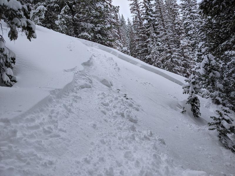
There were no avalanches reported yesterday in the Ogden area mountains. Near Salt Lake in the Cottonwood Canyons there were many soft slab avalanches in the new snow following high snowfall rates late morning. Most avalanches were 6-12 inches deep and 50-100 feet wide. View all reported avalanches
HERE.
Photo below of a slide in White Pine in Little Cottonwood that was similar to many others (B. Miller)
As always, find all of our observations and recent avalanches
HERE.