Forecast for the Ogden Area Mountains

Mark Staples
Issued by Mark Staples on
Thursday morning, December 31, 2020
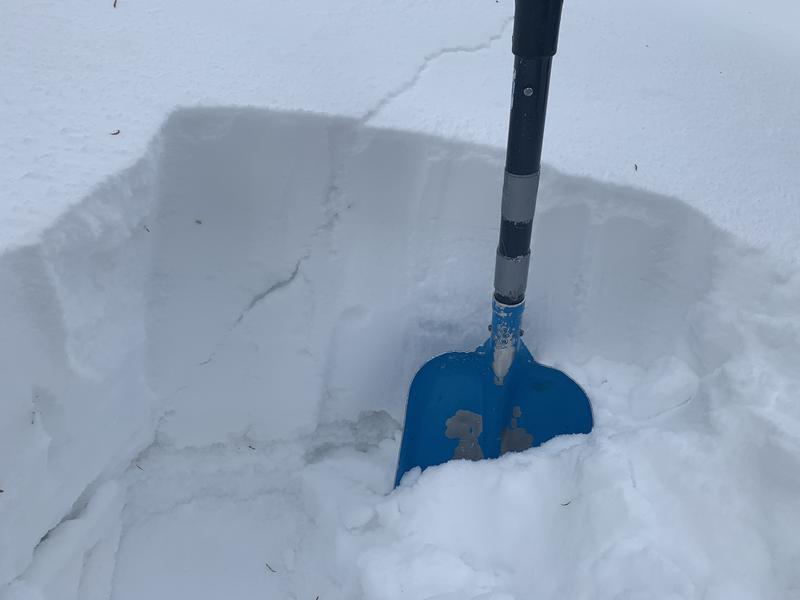
The avalanche danger today is MODERATE at all upper elevation and mid elevation slopes. There is plenty of weak snow but it mostly lacks a slab on top to produce an avalanche. Look for and avoid places with fresh wind drifting.
At low elevations, there is minimal snow and the danger is LOW.
Low
Moderate
Considerable
High
Extreme
Learn how to read the forecast here
Special Announcements
The Utah Avalanche Center podcast's second episode of season 4 is live - Managing Risk with Avalanches, Managing Risk with a Pandemic - A Conversation with state epidemiologist Dr. Angela Dunn. Stream here or tune in wherever you get your favorite podcasts

Read a few short anecdotes in a blog from UAC staff about how avalanches can surprise us

Thanks to the generous support of our local resorts, Ski Utah, and Backcountry, discount lift tickets are now available. Support the UAC while you ski at the resorts this season. Tickets are available here.
Weather and Snow
This morning it's snowing with a trace of snow as of 5 a.m. Temperatures are generally near 20 deg F near Snowbasin at all elevations and in the mid teens F on the other side of the valley. Winds from the southwest are blowing 10-15 mph and gusting to 20 mph.
Today an inch of two of snow should accumulate mainly this morning. Skies will remain cloudy and temperatures should rise into the 20s F. Winds should remain light and slowly shift and come from the northwest.
This weekend will be dry, but some snow could come Monday night and again Wednesday night. No major accumulations are expected but we'll take what we can get.
Riding conditions are quite good with several inches of snow from last Monday night and generally supportable snow underneath. Southerly facing slopes have some powder on top of supportable crusts. For snowmobilers, the snow is still so thin that it's a game of Russian Roulette with your a-arms. Even skiers and boarders should still be extra cautious about hitting rocks.
Recent Avalanches
No avalanches were reported yesterday.
Ad
Avalanche Problem #1
Persistent Weak Layer
Type
Location
Likelihood
Size
Description
One person said it best yesterday while near Ben Lomond Peak, instead of the snowpack containing a persistent weak layer (PWL), it is more like a persistent weak snowpack (PWS). What he meant is that in most places on shady slopes, the entire snowpack is weak and faceted.
To get an avalanche, there needs to be a slab of cohesive snow on top. Drew and Derek DeBruin were on Ben Lomond Peak as well and found similar conditions - weak snow is everywhere and what is most variable at upper elevations is the existence of a slab on top of this weak snow. Winds have scoured some slopes and loaded others. Wind-loaded locations generally have a slab of cohesive snow on top of weak snow. One of these produced a crack for Drew yesterday that propagated 45 feet from him, a sign of unstable snow (photo below).
The most likely place to trigger an avalanche today will be upper elevation slopes where a slab of wind drifted snow is resting on a persistent weak layer of faceted snow. This persistent weak layer generally exists on slopes that don't receive direct sunshine.
General Announcements
Please visit this website with information about Responsible Winter Recreation by the Utah Office of Outdoor Recreation.

This information does not apply to developed ski areas or highways where avalanche control is normally done. This forecast is from the U.S.D.A. Forest Service, which is solely responsible for its content. This forecast describes general avalanche conditions and local variations always occur.