Thanks to the generous support of our local resorts, Ski Utah, and Backcountry, discount lift tickets are now available.
Support the UAC while you ski at the resorts this season. Tickets are available
here.
Skin wax on Solstice.
Saturn and Jupiter kiss.
Strange year gets stranger.
The Situation:
Skies are clear...but not for long.
A sharp and quick hitting cold front will arrive before noon and snowfall will continue into the night. The NWS has issued a Winter Weather Advisory and - if everything aligns right - the Ogden area mountains may see 4-7" of low density snow. Southwesterly winds picked up in the early morning hours with hourly averages of 30-35mph. Gusts along the Ogden skyline have reached 60mph. Current mountain temps are in the upper 20s up high, the upper 30s down low. The highest elevations may flirt with the single digits by late tonight. Unfortunately it does look as if the northwest winds will remain gusty well after frontal passage today.
We'll need this snow - wind, sun and terribly warm temperatures have taken their toll on the snow conditions.
The Outlook:
We should see clearing skies tomorrow through Friday. We'll see gradually warming temperatures through the end of the week with a storm slated for Saturday that should bring another round of snow.
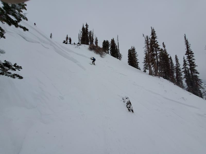
We did not hear of any avalanche activity in the Ogden area mountains, although one avalanche professional described conditions as "spooky, with large collapses and long running shooting cracks".
On Sunday, we did hear reports of a skier caught and carried in an avalanche in the Bailey Spring area near the Cutler Ridge area of Ben Lomond...not far from a larger natural avalanche nearby 1-2' deep and 350' wide. These were on a steep easterly facing aspects at roughly 8600'.
(thanks to Joe Keeler for the report of the natural)