Forecast for the Ogden Area Mountains

Mark Staples
Issued by Mark Staples on
Thursday morning, February 13, 2020
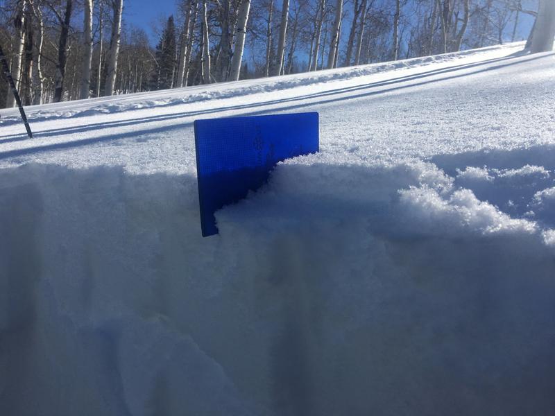
Today the avalanche danger is LOW and avalanche conditions are generally safe. However, riding in extreme terrain can make the consequences of even very small avalanches deadly.
Low danger does not mean no danger.
Low
Moderate
Considerable
High
Extreme
Learn how to read the forecast here
Special Announcements
Discounted lift tickets - Thanks to the generous support of our Utah ski resorts and Ski Utah, all proceeds from these ticket sales go towards paying for avalanche forecasting and education! Get your tickets here.
Weather and Snow
This morning, temperatures are in the upper teens and low 20s F. Westerly ridgetop winds are averaging 5-10 gusting to 20 mph. Gust on Ogden Peak have reached 30 mph. Stronger winds blew very early yesterday morning before becoming very light yesterday and then increasing a bit last night.
Today will be a beautiful one to be in the mountains. Skies will be mostly sunny and temperatures should warm into low to mid 30s F. Ridgetop winds should continue 5-10 mph gusting up to 20 mph.
Looking forward, a dry cold front will pass over the area late Friday bringing some clouds and maybe a dusting of snow. A decent storm system arrives early Sunday morning.

The snowpack generally has some very light snow on top of a variety of crusts formed by freezing rain and/or rime that occurred last Friday and last weekend.
Recent Avalanches
No avalanches have been reported in the Ogden area mountains. However, on old glide avalanche was found in Coldwater Canyon yesterday.
Ad
Avalanche Problem #1
Normal Caution
Type
Location
Likelihood
Size
Description
There may be a few shallow soft slabs of wind drifted snow you could trigger, but that threat always exists to some degree and always worth looking for. Maintain good travel habits because these can save your life if something unexpected happens. Safe travel habits mean exposing one person at a time to avalanche terrain and having someone watch them from a safe location.
With a LOW danger, it is reasonable to venture into more radical terrain, but always consider the consequences of an avalanche. Even very small avalanches can be deadly in certain terrain.
Additional Information
LOOKING AHEAD:
In simple terms, slab avalanches require a slab of snow resting on top of a weak layer. The weak layer is currently forming near the snow surface, and the slab may come with snowfall on Sunday.
The current snow surface has been faceting and weakening during warm sunny days and cold clear nights. Despite air temperatures in the single digits F, snow surface temperatures have likely dropped well below zero degrees F during nights with clear skies. Making matters worse, this weak snow rests on top of a crust on many slopes.

Areas of the Ogden mountains suffered more greatly with the rime/freezing rain crust. Travel conditions are greatly diminished, particularly on the east side of the Ogden valley.
Photo below of light snow (that will become the weak layer) on top of a crust near Mt Nebo but similar conditions have been found throughout the Wasatch with up to 6 inches of light snow on top of crusts.
General Announcements
This information does not apply to developed ski areas or highways where avalanche control is normally done. This forecast is from the U.S.D.A. Forest Service, which is solely responsible for its content. This forecast describes general avalanche conditions and local variations always occur.