Forecast for the Ogden Area Mountains

Mark Staples
Issued by Mark Staples on
Saturday morning, January 4, 2020
Today the avalanche danger is MODERATE at upper and mid elevations where slabs of wind drifted snow can possibly be triggered. At low elevations avalanches are unlikely and the danger is LOW.
Low
Moderate
Considerable
High
Extreme
Learn how to read the forecast here
Special Announcements
Get discount lift tickets HERE. Thanks for this generous support from Utah Ski Resorts and Ski Utah. All proceeds go directly to supporting the UAC.
Weather and Snow
This morning temperatures at many mid elevations have warmed near 30 degrees F while ridgetops and trailheads have temperatures in the low to mid 20s F. Winds eased since yesterday and this morning are blowing about 10 mph gusting to 15 mph from the SW. Ogden Peak has winds gusting to 30 mph from the SSW.
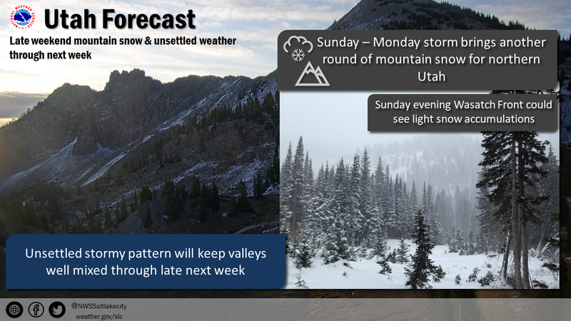
Today, a weak trough of low pressure will graze by northern Utah. Winds should increase some and blow 10-20 mph from the SW before shifting to the WNW. Skies will have high level clouds this morning with lower level clouds arriving this afternoon with a small chance for a few snowflakes to fall. Sunday afternoon could have accumulating snowfall that brings 5-11 inches by Monday.
Sunshine yesterday warmed south facing slopes which have a thin ice crust on them this morning.
Recent Avalanches
Ski areas yesterday triggered some small slabs of wind drifted snow. Otherwise most avalanche activity happened on Jan 1st when it was snowing and winds were rapidly transporting this snow.
Ad
Avalanche Problem #1
Wind Drifted Snow
Type
Location
Likelihood
Size
Description
Winds blowing from the SW later shifting to the WNW will keep slabs of wind drifted snow a problem today. Generally these wind slabs were very sensitive on Jan 1 and should be mostly stubborn now. The easiest way to deal with this problem is to look for signs of wind drifted snow and avoid it. More info on recognizing this problem here.
One thing to watch for that has been an issue further south in the Central Wasatch is a crust that formed just before the New Year's storm. Low density powder and some faceted snow above and below this crust allowed many wind slabs to break over wide areas. There have been no indications that this layer is a problem in the Ogden area, but it could keep some slabs unstable today if it exists in some places.s
Additional Information
General Announcements
This information does not apply to developed ski areas or highways where avalanche control is normally done. This forecast is from the U.S.D.A. Forest Service, which is solely responsible for its content. This forecast describes general avalanche conditions and local variations always occur.