Forecast for the Ogden Area Mountains

Mark Staples
Issued by Mark Staples on
Sunday morning, December 29, 2019
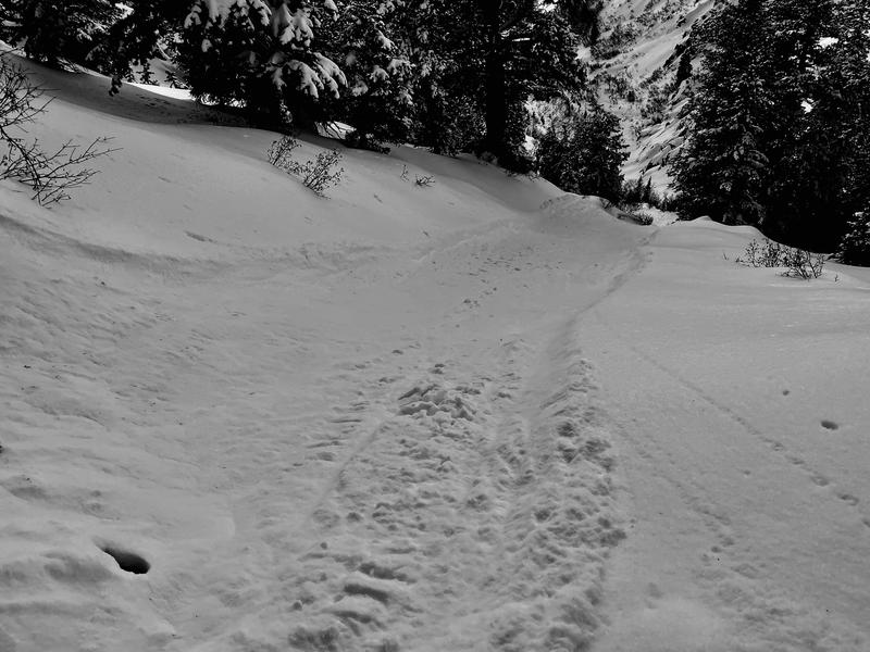
Watch for soft slabs of wind drifted snow at upper elevations where the avalanche danger is MODERATE. At mid and lower elevations, avalanche conditions are generally safe and the avalanche danger is LOW.

A low danger means that avalanches are unlikely but danger still exists. Travel smart and only expose one person at a time to avalanche terrain. Don't let the excitement of great powder lull you into being complacent in how you travel.
Low
Moderate
Considerable
High
Extreme
Learn how to read the forecast here
Special Announcements
Get discount lift tickets HERE. Thanks for this generous support from Utah Ski Resorts and Ski Utah. All proceeds go directly to supporting the UAC.

Landmines - Notes from an Army officer frequently deployed to the middle east who is also a skier living in Utah.

Podcasts - Check out two recent ones with Doug Workman and Jenna Malone.

Weather and Snow
Yesterday winds from the northwest increased midday at upper elevations. Clouds stuck over the mountains produced a few inches of very light snow yesterday afternoon.
This morning mountain temperatures are in the single digits F. Winds are averaging about 10 mph and gusting 15 mph from the NW.
Today will have similar weather with cold temperatures that will climb into the teens F. Northerly winds will remain light in most places. Cloudy skies should produce a few more inches of very light snow today.
Looking ahead - a decent storm system should arrive around New Year's day bringing several days of snowfall that could be measured in feet not inches. Stay tuned.

Riding conditions are 5 star. The snow is supportable and the powder is perfect on all aspects except areas that saw increased winds yesterday.
Recent Avalanches
On Ben Lomond Peak near Ogden, skiers found predictable wind drifting and cracking of these fresh slabs (video below).
On the west side of Mt Ogden, an observer found very loose surface snow that sluffed easily.
Ad
Avalanche Problem #1
Wind Drifted Snow
Type
Location
Likelihood
Size
Description
Northerly winds have created soft slabs of wind drifted snow at upper elevations. Because the powder is so light and fluffy, winds can easily transport it. The resulting wind slabs are resting on very light powder and should easily fracture and produce avalanches about a foot deep. Fortunately, this avalanche problem is easy to identify visually. If you can see it, then you can avoid it.
General Announcements
This information does not apply to developed ski areas or highways where avalanche control is normally done. This forecast is from the U.S.D.A. Forest Service, which is solely responsible for its content. This forecast describes general avalanche conditions and local variations always occur.