Forecast for the Ogden Area Mountains

Nikki Champion
Issued by Nikki Champion on
Saturday morning, December 28, 2019
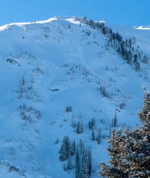
Today there is a MODERATE danger on all upper elevation terrain where the winds have increased and begun transporting snow and forming wind drifts. Look for signs of wind drifted snow in steep terrain and avoid them.
Mid-elevation slopes that don't have signs of wind drifted snow and low elevation slopes are LOW where generally safe avalanche conditions exist, and human triggered avalanches are unlikely.
Low
Moderate
Considerable
High
Extreme
Learn how to read the forecast here
Special Announcements
New blog post-Landmines -
With permission, we am reprinting a recent piece of correspondence from an Army officer who is frequently deployed to the middle east. Drew spent time in the middle east as a naval intelligence officer in Desert Storm in the early 90s.

New podcast - Risk, Reward, and the Big Lie - A Conversation with Ski Guide Doug Workman

Jenna Malone's UAC Podcast - Betting Your Life - Why Forecasting is Poker and Not Chess - A Conversation with Jenna Malone - now has her video presentation from this fall's USAW.

Thanks to the generous support of our Utah ski resorts and Ski Utah, we have discount lift tickets available. All proceeds from these go towards paying for avalanche forecasting and education! Get your tickets here.
Weather and Snow
This morning temperatures are cold at trailheads, hovering in low single digits. Ridgetop temperatures are in the single digits. Winds are northerly to northwesterly averaging in the mid-teens with gusts into the upper 30 mph at ridgetops and above 50 mph on Ogden Peak.
Since yesterday, the winds switched from the south and southeasterly to a cold northwest flow.
Today, temperatures should remain cold in mid to upper teens, with a wind chill in the single digits, and high negatives at ridgetops. The wind speeds will remain calm at lower and mid-elevations but could continue to gust above 35 mph at ridgelines. Skies will be broken with few small flurries but no real snow accumulation.
Skiing and riding conditions remain excellent on all aspects and elevations but for some slight sun/green housing damage on steep southerly aspects.
Recent Avalanches
Yesterday there were a few more reports of sluffing on very steep slopes, above 40 degrees both in the backcountry. Across the board, these sluffs and shallow soft slab avalanches were generally running in the old-snow interface on a bed surface comprised of temperature crusts and wind old slabs.
On Ben Lomond, a human triggered new snow avalanche was reported on a NE aspect at 9500'. It was 20' and an unknown depth. It was not believed to step down into any of the older snow.
(Photo. M. Neunzert)
Ad
Avalanche Problem #1
Wind Drifted Snow
Type
Location
Likelihood
Size
Description
Into the early afternoon yesterday and the evening, the winds began to pick up at the upper-most elevation band. This morning ridgetop winds are gusting above 35 mph and nearing 50 mph in select areas. With a wide variety of surface conditions before this most recent storm, and 10" inches of snow available to transport new drifts will have formed overnight. Winds are forecast to continue gusting near 35 mph at ridgelines, with plenty of snow to drift into these sensitive new wind slabs. Watch for plumes off the high peaks and blowing snow as these are obvious signs of wind-drifts forming.
The key is to identify and avoid any signs of wind drifted snow such as rounded, smooth or scalloped drifts on steep slopes.
While the wind drifts will be most pronounced in the upper elevation band, this problem could be seen in isolated areas in the mid-elevation band as well. If you see signs of wind drifted snow and transportation occurring at mid-elevations avoid that terrain as well.
General Announcements
This information does not apply to developed ski areas or highways where avalanche control is normally done. This forecast is from the U.S.D.A. Forest Service, which is solely responsible for its content. This forecast describes general avalanche conditions and local variations always occur.