Also see Eric' 1-17-2011 observations from the same area;
http://utahavalanchecenter.org/obs_snow_profile_tony_grove_lake_1172011
http://utahavalanchecenter.org/obs_snow_profile_mt_magog_area_1172011
Here are some photo observations from Jeremy......
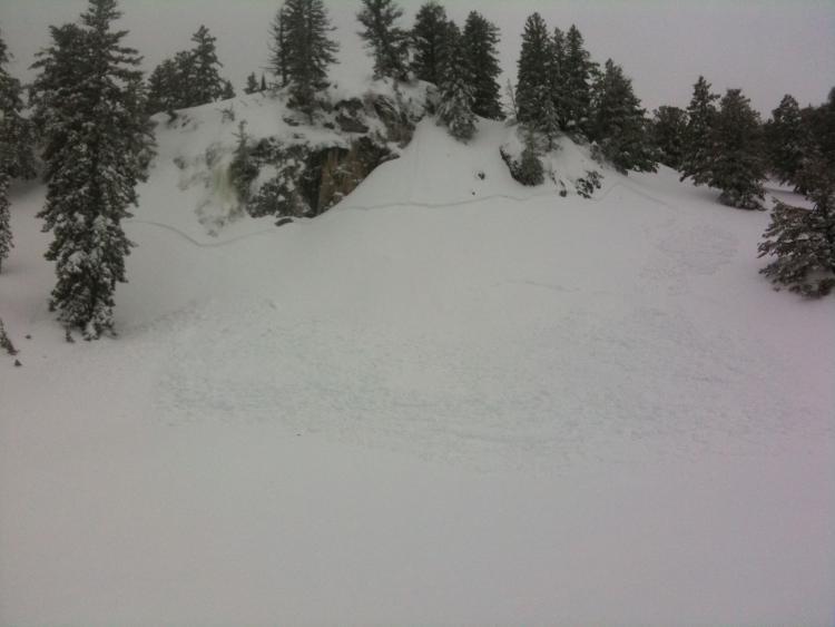
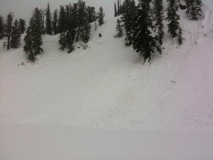
White Pine Trail near Magog:
12-18 inch crown breaking about 300 feet wide and running about 100 vertical feet. Heavy snow/rain was likely the trigger last night or this morning.
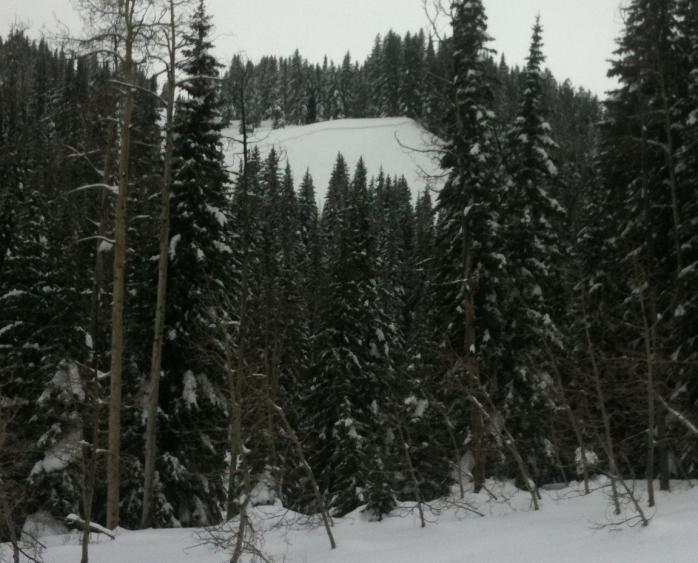
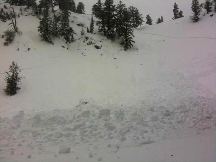
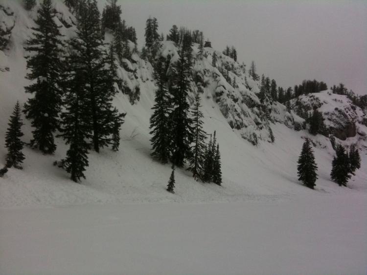
Tony Grove Lake, North;
This one looked to be about 18 inches deep as well. 300 feet wide and running 300 or so vertical feet. Warm heavy snow and rain was likely the trigger overnight or early this morning. Big piles of debris - probably 8 feet deep or so.
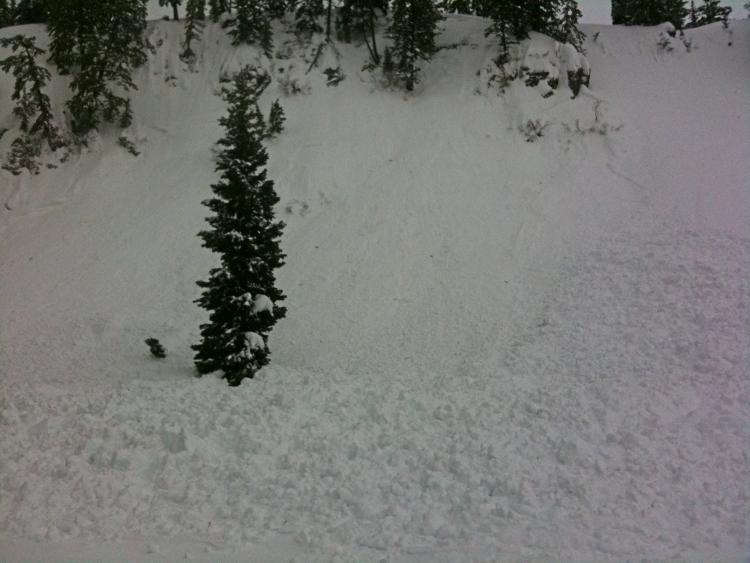
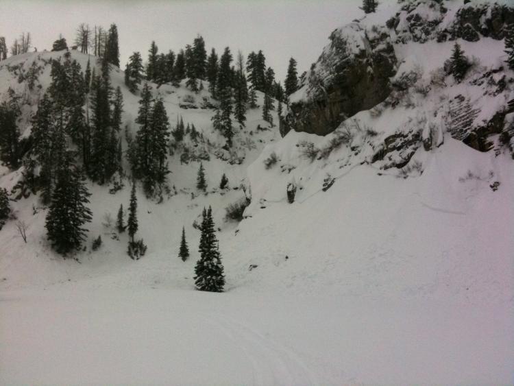
Closer look from debris piles.......

Nearly every slope bordering the west side of Tony Grove Lake had slid leaving large debris piles next to the lake. Most were 100- 150 feet wide and from 12 to 18inches deep running 100-200 vertical feet. These lines were filling in nicely and it was a bummer to see them flushed out from the rain and heavy snow.
Wet slab avalanche probably happened overnight when the snow turned to rain. Debris piles nearly reached the campground running thru very thick trees. Ran 200 feet or so and was 200 feet wide or so. I didn't feel good about getting closer to this one to measure the crown but it looked around 12-18 inches deep.