Skies are partly cloudy.
Mountain temperatures are in the low 30s.
Winds are 20-25mph from the west northwest with gusts to 40.
For today, we'll have mostly sunny skies, moderate northwest winds and temperatures again soaring into the upper 30s and low 40s. High pressure will continue its stranglehold on Utah through the weekend. A Pacific storm slated for Tuesday still looks like it will shear apart, but there is a hint of another wave piggy-backing the northern branch of the storm that may actually produce a couple inches of snow. We'll see.
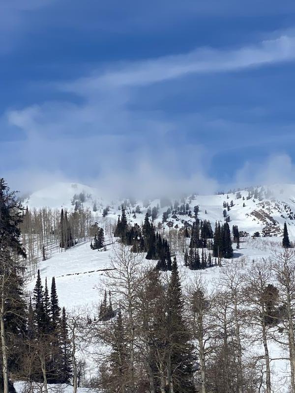
beautiful but windy, James Peak area, Schumaker
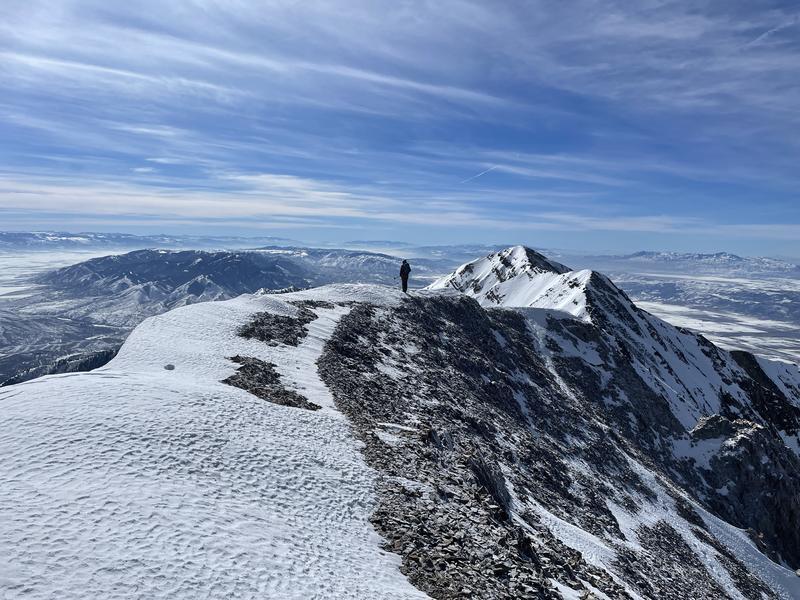
Thanks to stormy October and Decembers, coverage remains good and winter backcountry travel is easy. Wind and sun crusts abound, but softening corn-like conditions exist on solar aspects and a few soft turns can be found in sheltered northerly terrain. Mark and his partners enjoyed perfect and glorious weather down on Mt Nebo yesterday and his observation can be found
HERE>.
One of my colleagues running the snow safety program at one of the ski areas along the Park City ridgeline closed off some of his solar low/mid elevation terrain yesterday, noting that "the shallow snowpack did not take the heat well." With collapsing of the wet snowpack and minor wet loose activity, it was time to pull the plug. Good rule of thumb for those traveling in sunny terrain today.
Greg Gagne's Week in Review is published and can be found
HERE>