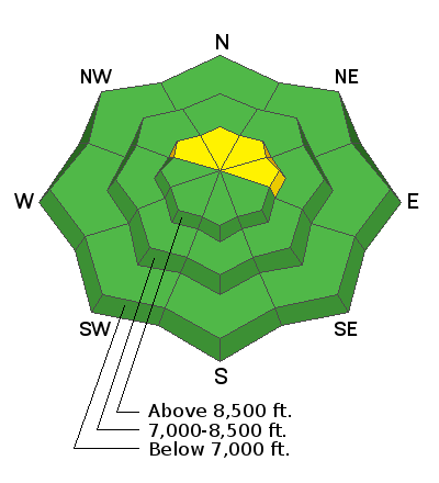
This week is the third annual
Avalanche Awareness Week in Utah. A lot is going on with over 20 different events around the state. You can find all the events
HERE.
Batteries for Beacons runs through Dec 19. Get free batteries for your transceiver and a chance to win 1 of 10 Black Diamond Rescue Kits, 1 of 3 Mammut Barryvox transceivers, or 1 of 3 BCA Tracker transceivers. Stop at a
participating shop, fill out our survey and get a free set of batteries. Don't need batteries, but still want a chance to win? Simply
fill out the survey to be registered.
Skies are partly cloudy in the wake of the storm. Mountain temps finally feel like winter and are in the single digits and low teens. Westerly winds are light to moderate except along the highest elevations where they're blowing 25mph with gusts to 30.
This was a much needed storm. We picked up another trace to two inches, pushing storm totals to 12-16".
Snow depths are now 1-3' up high and riding conditions are vastly improved.
The Outlook -
For today, we'll see increasing high clouds with light to moderate southwest winds. Temperatures will rise to the low 20s F by the afternoon.
As this storm fades from memory, our attention turns to the next storm churning in the Pacific. We'll see warming temperatures and increasing southwest winds Sunday and Monday ahead of what looks to be a decent snowfall event Tuesday/Wednesday. Southwest winds ahead of the storm are forecast to average 50-60mph.
We did not hear of any avalanches in the Ogden backcountry yesterday, but avalanche conditions were dangerous in the Salt Lake area mountains yesterday with many human triggered avalanches 1-2' deep and hundreds of feet wide.


