Skies are mostly cloudy.
Mountain temperatures are in the upper 20s and low 30s. Winds are from the southwest, blowing 25-30mph with gusts to 45. The most exposed ridgelines are seeing hourly averages of 35-40mph with gusts to 50. Sun, wind, and warm temperatures have taken a toll on the riding conditions, but another storm is on the doorstep.
Today we'll have increasing clouds with light snowfall in the afternoon. Mountain temperatures will be in the mid-20s up high, the low 30s down low. Moderate winds will blow from the southwest with occasional strong gusts. The bulk of the snowfall will be tonight through tomorrow. 4-8" may be expected, with higher amounts in favored areas. A weaker storm is slated for Monday night and perhaps another storm on Thursday.
No new avalanches were reported from the backcountry yesterday. Ski area control teams triggered new soft slabs of wind blown snow and cornices were breaking back further than expected.
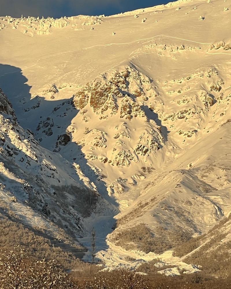
Thursday's and Friday's clearing skies provided for first class avalanche viewing, from Logan to Ogden to the central Wasatch and down to Provo. These avalanches are something to behold. I have to say that these large destructive natural avalanches on both side of the Ogden skyline - from Burch Creek to Ben Lomond to Willard Peak are - again - nothing short of amazing.
South face along the Ben Lomond headwall, pc: Nichole Dye