Forecast for the Ogden Area Mountains

Mark Staples
Issued by Mark Staples on
Monday morning, January 13, 2020
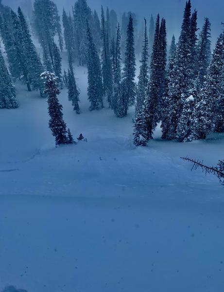
Today the avalanche danger is CONSIDERABLE at upper elevaitons where fresh slabs of wind drifted snow are the main concern.
At mid elevations with generally less wind the danger is MODERATE, and at low elevations there is mostly just great powder and a LOW danger.
REGARDLESS of the elevation or danger rating, watch for fresh wind slabs that could fracture and produce an avalanche. Also avoid being in or above a terrain trap like a creek or a gully where even a shallow sluff of new snow could potentially bury a person.
Heads up if riding near Farmington or Bountiful - scroll to the bottom for more info
Low
Moderate
Considerable
High
Extreme
Learn how to read the forecast here
Special Announcements
Get discount lift tickets HERE. Thanks for this generous support from Utah Ski Resorts and Ski Utah. All proceeds go directly to supporting the UAC.
Weather and Snow
Since yesterday morning 4-6 inches of additional snow fell. Temperatures this morning remain cold and are in the upper teens and low 20s F. Winds have increased since yesterday with gust about 10 mph higher. At ridgetops they are averaging 10-15 mph with gusts 20-30 mph from the SW. Winds on Ogden Peak are blowing 40 mph gusting 50 mph.
Today a cold front will descend over northern Utah and high temperatures will struggle to climb much above mid 20s F. Wind speeds should continue at similar speeds. As the cold front passes, winds will briefly switch to the WNW before switching to the WSW this afternoon. Snow will fall today with the heaviest snow this morning. By end of today about 6 inches should fall.
Riding and turning conditions are about as good as it gets. According to local ski patrollers, it's "Utah powder skiing at its best!"
Recent Avalanches
Ski areas triggered some small soft slabs of wind drifted snow yesterday. They also triggered loose snow sluffs in the new snow in steep terrain.
Drew and his partners on Cutler Ridge of Ben Lomond Peak yesterday triggered small sluffs about 4-6 inches deep and 30 feet wide that ran about a hundred feet.
Ad
Avalanche Problem #1
Wind Drifted Snow
Type
Location
Likelihood
Size
Description
The main things to watch for today are soft slabs of wind drifted snow. With winds increasing since yesterday morning, I would expect plenty of wind drifting at the highest elevations. Look for signs of recent wind drifting from winds which have generally been blowing westerly.
The good news is that many low and mid-elevation slopes exist that do not have any wind loading and just have amazing powder.
Avalanche Problem #2
New Snow
Type
Location
Likelihood
Size
Description
There is simply A LOT OF NEW SNOW. Mostly this new snow is producing loose snow avalanches or sluffs because it is such low density. These can easily bury a person if they run into terrain traps like creeks or gullies. Be cautious of what is above you and where you might go if carried in one of these slides. I don't expect many soft slab avalanches in the new snow on slopes not touched by the wind.
Additional Information
I rode in the mountains above Bountiful (video) in the Salt Lake forecast zone, and was shocked to find a that formed just before New Years on ALL ASPECTS. I dug over half a dozen snowpits at elevations between 8-9000 feet and got the same unstable results in all places. We have not seen a weak layer like this in the Ogden area mountains, except a hint of it on Wednesday at North Ogden Divide and a recent observation near Snowbasin. Drew did NOT find it on Cutler Ridge yesterday.
What to do? Before committing to a steep slopes, I would dig 3 feet deep and perform an Extended Column Test (ECT) on a small slope or a low angle slope with a similar aspect and elevation to the slope you hope to ride. If the ECT fractures across the entire column, that is bad and I would not ride the slope. Let us know what you find.
General Announcements
This information does not apply to developed ski areas or highways where avalanche control is normally done. This forecast is from the U.S.D.A. Forest Service, which is solely responsible for its content. This forecast describes general avalanche conditions and local variations always occur.